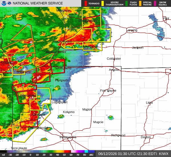
St. Joseph County has been on a Tornado watch since 8:05 p.m. on June 11, according to the National Weather Service.
A tornado warning was issued at 9:26 p.m., set to expire at 10:15 p.m.
AccuWeather reported “severe thunderstorms capable of producing a tornado were located along a line extending from near Three Oaks to 7 miles west of New Carlisle to near La Porte, moving east at 45 mph.”
Notre Dame posted an ND Alert to its Instagram page around 9:30 p.m.
“This is a tornado warning for St. Joseph County. Go inside, to lowest level. Take cover immediately. Follow local media or NWS for updates,” the alert read.
AccuWeather stopped reporting the tornado warning before 10:15. However, the National Weather Service Wireless Emergency Alert did not change the time on their alert.
AccuWeather has switched to reporting a Severe Thunderstorm Warning from 10 p.m. to 10:45 p.m.
The tornado watch is not set to expire until 2 a.m. on June 12. The watch presently spans 23 counties in Indiana, five in Michigan and four in Ohio.
This is the third night of tornado warnings within the tri-campus area in 2026.